Remote Sensing & Spatial Analysis, Minor
WELCOME to the Graduate Interdisciplinary Program in Remote Sensing & Spatial Analysis (RSSA)
The University of Arizona offers an unparalleled opportunity to pursue a multidisciplinary Ph.D. minor degree in remote sensing and related fields in spatial analysis. The range of courses offered in these fields is unmatched by any other institution in terms of breadth and depth. This is possible because a wide variety of academic departments and faculty participate in remote sensing and spatial analysis activities. To provide the student and fellow researchers an interlinked work and study environment, the remote sensing and spatial analysis program was set up through the university's interdisciplinary programs. It is administered by a committee of participating remote sensing and spatial analysis faculty.
The Earth has a temperature, mountains, blowing wind, and flowing water. Capturing information about these and other global features can help scientists get a present-day picture about the Earth and help make decisions about our future. But how do scientists gather information? They use sensors, devices that detect and measure physical quantities and then convert them into signals that can be read by an instrument or observer. Remote sensing scientists or technologists oversee the collection of this information and interpret the data. They work with databases to store these large amounts of data and then share the data in reports or in maps.

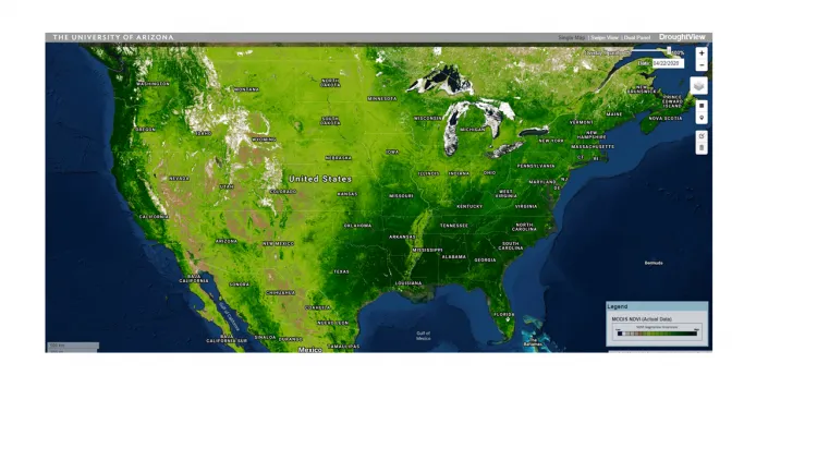
MODIS NDVI: https://droughtview.arizona.edu/
Have questions? Contact us:
Jennifer Shim, Program Coordinator Dr. William Kolby Smith, Program Chair
jennifershim@arizona.edu wksmith@arizona.edu
(520) 626-9111 (520) 621-1056
There are no upcoming events listed.
